


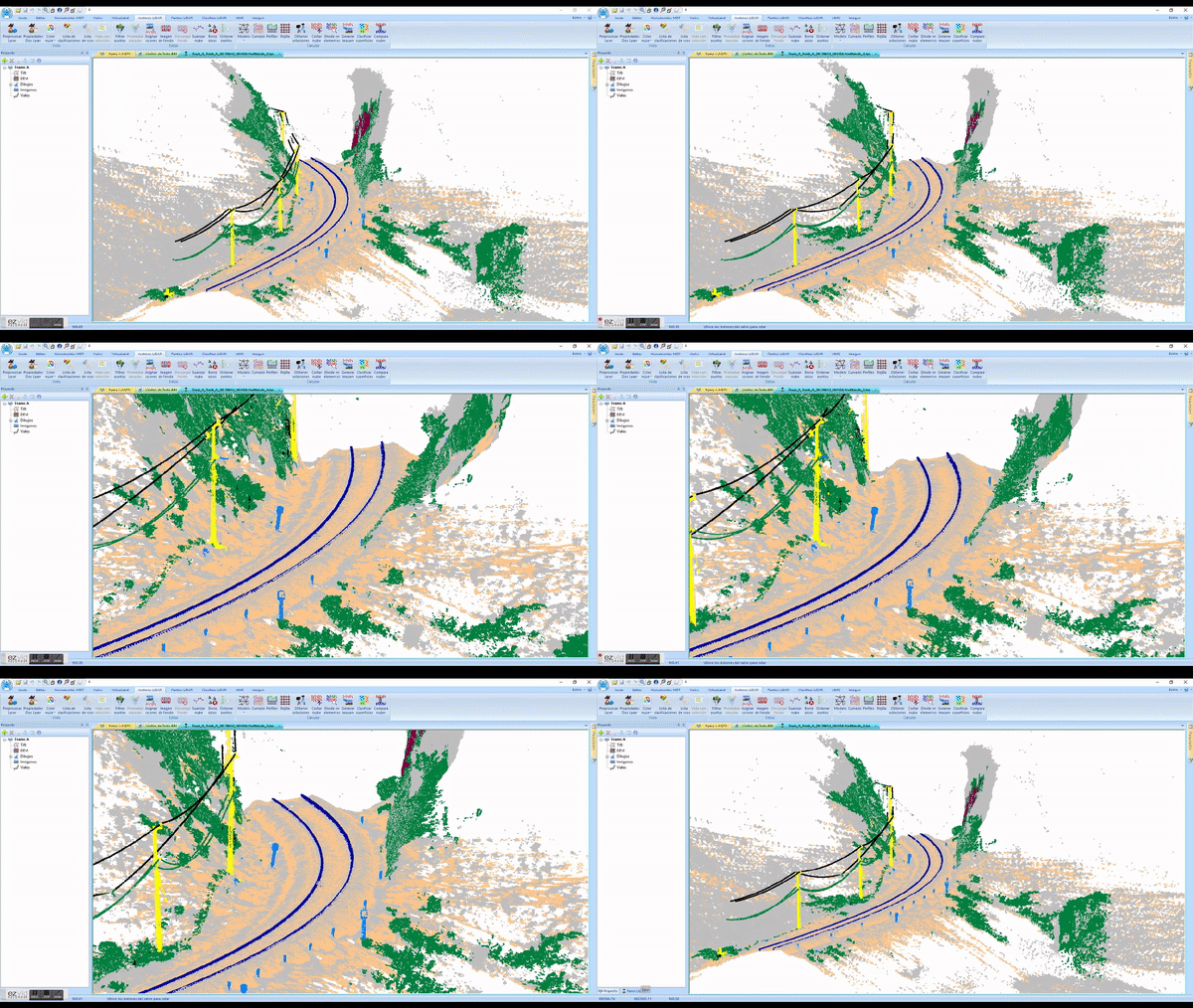
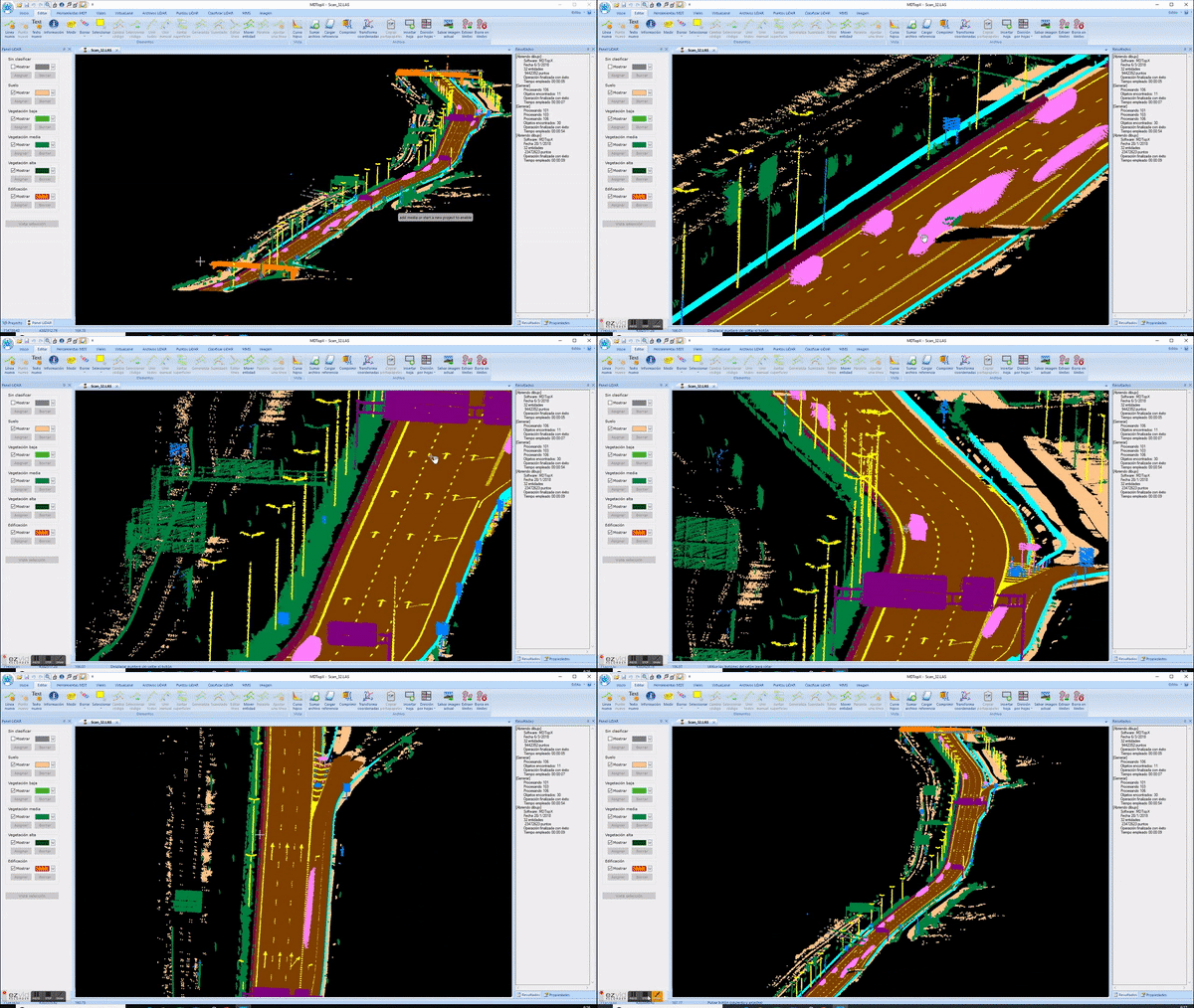
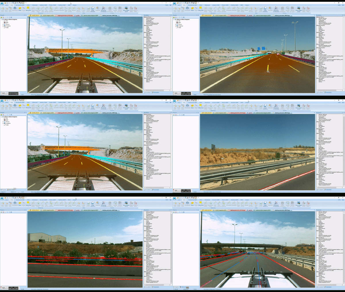
Digital Photogrammetric WorkStation
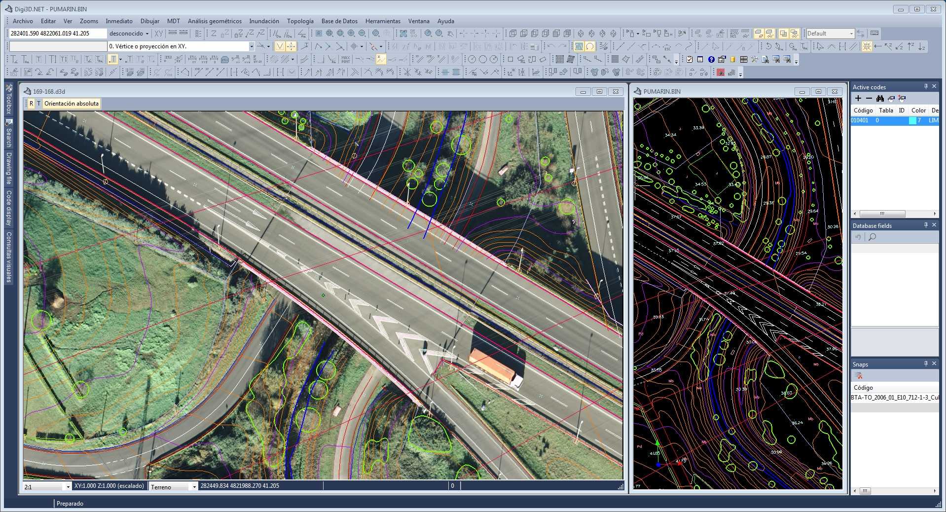
Photogrammetric workstation with integrated CAD. It supports metric and non-metric cameras, satellite sensors, ...
More informationDigital Topographic Models
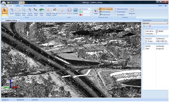
Digital Terrain Models Processing Software. It has analysis of LiDAR and Laser-Scan, generation of Digital Surface Models, generating of ortho-mosaics, road design, ...
More informationTopographic calculations program
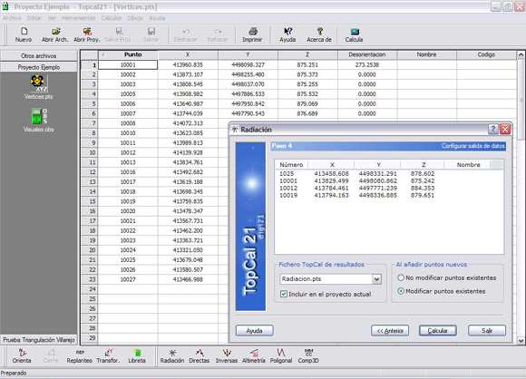
Program designed to solve all problems in surveying calculation.
More information